Page 5 of 5
Acadia National Park, Maine
Day after day it reappears
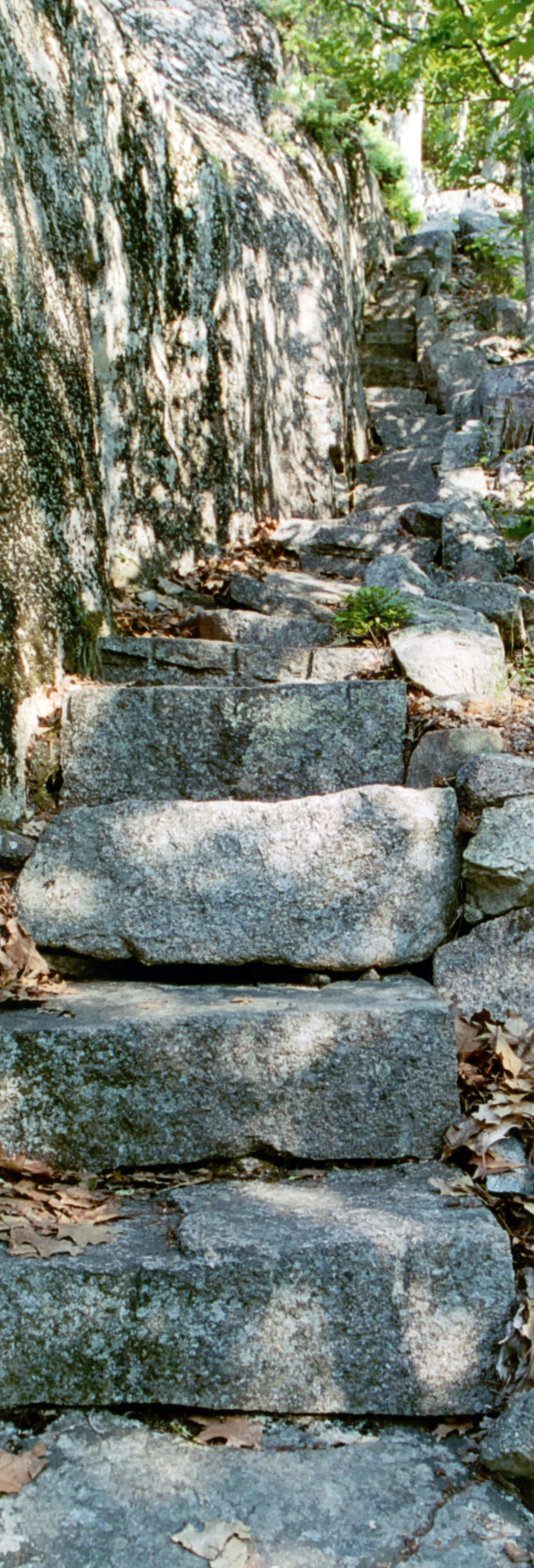
As good a start as any, this is an image (or images) from tiny but proud Huguenot Head and its truly wonderful Beechcroft Path. This trail is often overlooked for its more righteous neighbors- it is located geographically between the legendary Precipice Trail and the overrated but cool sounding Ladder Trail. It doesn't even climb a mountain- at 800 feet, Huguenot Head is really more of a hill, just a funny little bump sticking out of the backside of Champlain Mountain, yet its ascension is as much fun as any trail the island has to offer. Right from the start you begin uphill, the path is actually composed of steps, a hell of a lot of them to be exact. The entire journey is uphill, yet most of it features sweeping views of all those more popular mountains, virtually the entire journey hangs just above nasty cliffs making Huguenot Head fell a lot more like a real mountain.
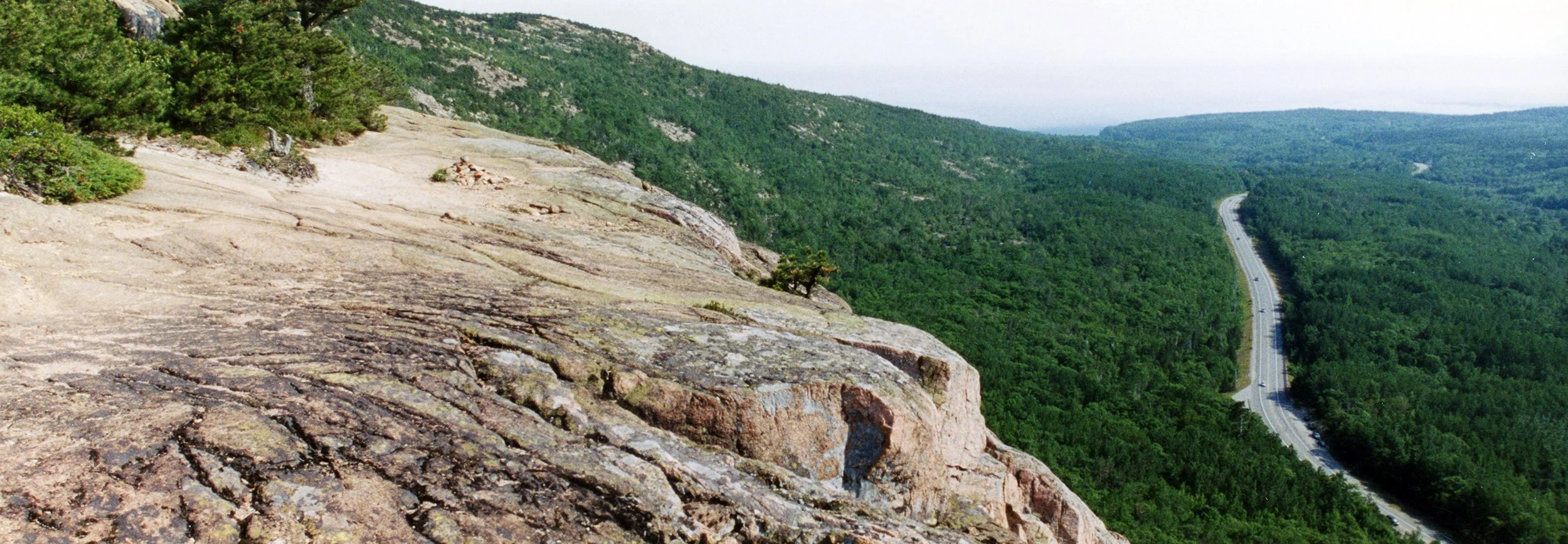
Near the top of Huguenot Head, sweeping vistas open south along Route 3 towards the blackwoods and everything Otter (Otter Creek, Otter Point, Otter Cliffs).
Into the woods and out of the woods and home before dark. From Bar Harbor to Northeast Harbor is fifteen miles by foot if you chose the route over the park's highest mountain. What you could expect to discover along such an epic journey includes lakes, abandoned (and crowded) mountain summits, quiet woods, perfect gardens and much more- a rare chance for true solitude.
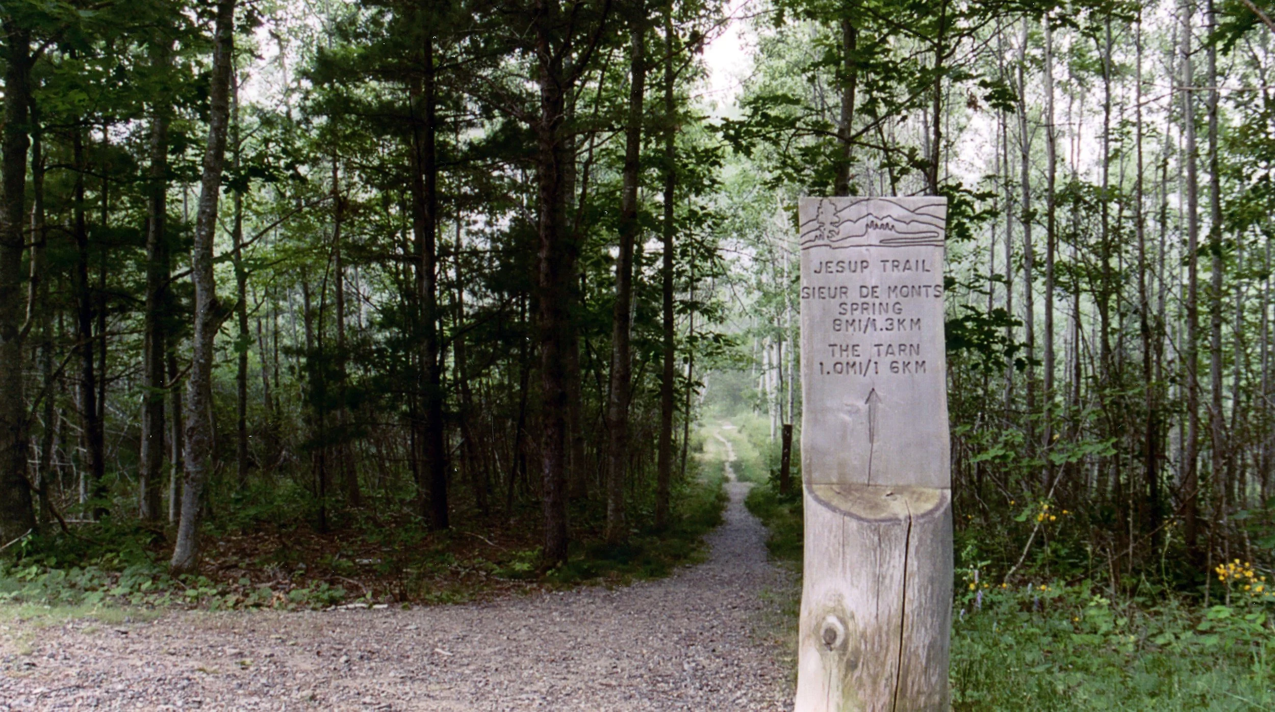
To trace my steps (for those familiar with such places), leave downtown Bar Harbor by Eden Street, then take the Great Meadow Loop to the Jesup Path to Sieur de Monts Springs. From there, continue past the Tarn on the Kane Path and then up the punishing and unrewarding Ladder Trail to the summit of Dorr Mountain. Then its down and back up the Gorge Trail to Cadillac Mountain, then the South Ridge Trail, then the miserably steep Pond Trail up and over the Triad to the Jordan Pond Loop. At the Pond House, find the Asticou and Eliot Mountain Trail to the Thuya Gardens, then the Asticou Gardens and a short hike to the town pier at Northeast Harbor. From there it gets easy- free shuttle buses take you back to the Village Green every hour.
Although this (over)planned journey includes many star attractions, most of my time was found among trees and bogs and rock. All but one of these trails is especially unpopular- sightings of fellow hikers were rare. Before I reached the summit of Cadillac Mountain the hard way (an access road delivers most non-sweaty visitors) I had not seen anyone else on the trails, most people preferred to drive past such sights, take a picture and move on.
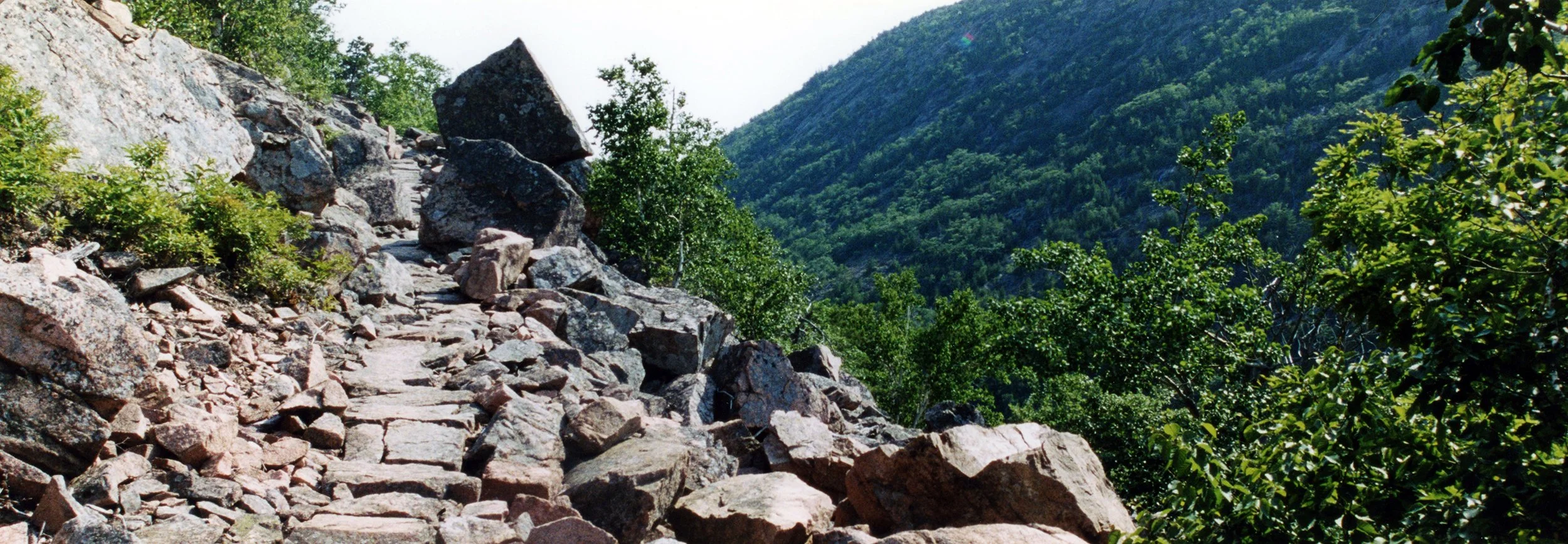
Anyone familiar with Acadia knows about its mountains. None are especially high, all are composed of pink granite and all have gentle north-south ridges and nasty, steep east-west ones. My journey cut across the island east-west, tackling the mountains where they feel like mountains most. This is the Ladder Trail, a straight up, well crafted staircase up Dorr Mountain's east face, 1,270 feet high without a landing in sight. Such work has little reward- normally these east-west hikes offer spectacular views above low tree lines, but this hike managed to avoid such glory for another step, and another, and another...
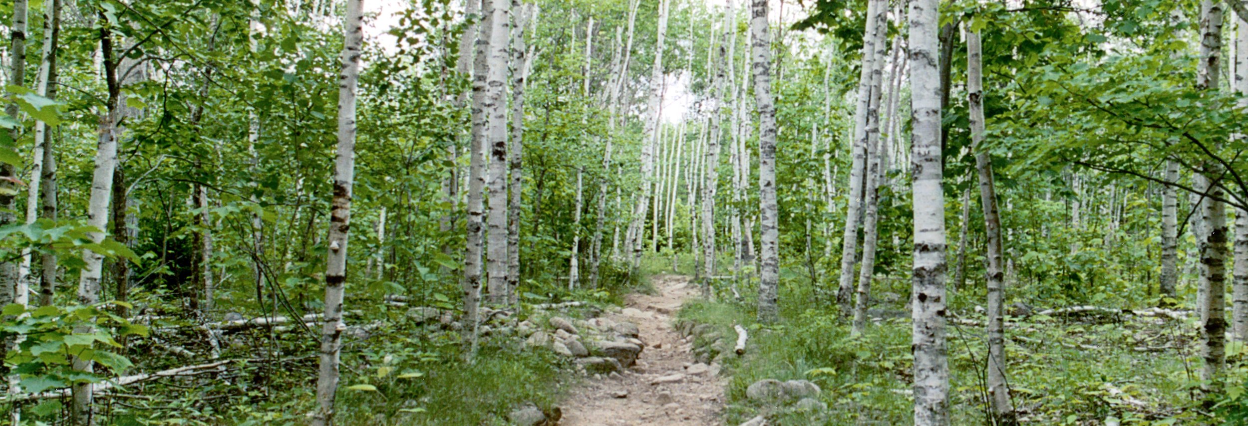
Stands of Birch still, um, stand throughout the park. Early opportunists, they grow quickly to fill in forest fires, only to be taken over by the slower growing, demanding pine trees.
Despite the similarities, this is not a picture from the Do Lung Bridge in Apocalypse Now (I looked that up), but possibly the second best picture I have ever taken of fireworks. I was in (or more accurately on) Bar Harbor on July 4, which explains the fireworks come to think of it. This is from a tour boat in the harbor, a front seat view as the show went on despite an ominous approaching fog, with nothing to protect us from all of those explosions as they raced across the harbor, hit the cliffs and echoed back again.
This is either a picture of a tiny truck close up or a picture of a full size truck being driven by a monstrously sized shriner. It was almost two weeks ago, it's hard to remember.
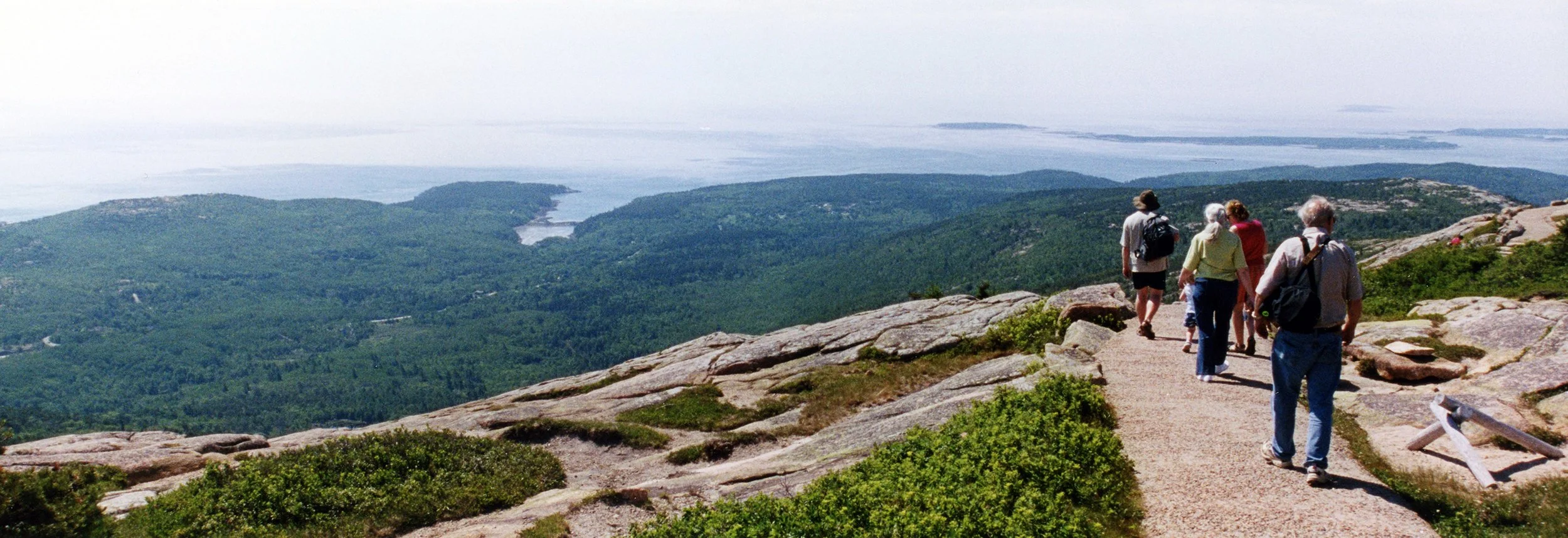
From the top of Cadillac Mountain, the edge of the Atlantic disappears into a distant fog. This is the Cadillac Summit Trail, a short half mile (if that) loop, easily accessible from the parking lot or several grueling trails. At only 1,500 feet above the adjacent sea, the Summit Trail is not really all that high, but it is high enough to offer sweeping views in all directions of everything you came to see and everything you are sure to see again.


